Time and date
CONSTRUCTION DIRECTORY
Anthony Brookes Surveys Ltd Contact Details
Telephone
Click to view
Website
Contact
Mr Andrew Bailey & Mr Philip Roberts
Email
Address
Unit 2 Thornbury Office Park
Midland Way
Midland Way
Thornbury
BS35 2BS
England, UK
About Anthony Brookes Surveys Ltd
Our Services
Our range of services include topographic surveys (surveys of existing land whether that is a small garden for a single house extension or a complete new housing development), measured building surveys (plans, elevations, sections), rail surveys (platforms, bridge improvements, slope failures), monitoring structures for minute movement, 3D laser scanning, 3D modelling, volumes, engineering, utility tracing of underground buried services. The majority of our clients are other industry related businesses with (usually) smaller projects coming direct from members of the public.
Topographical Surveys
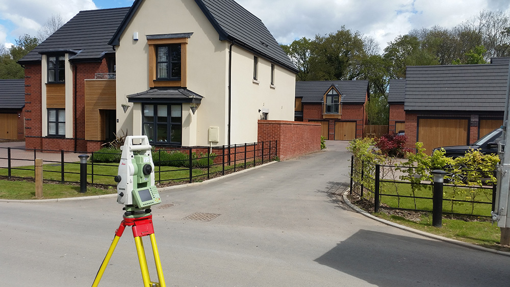
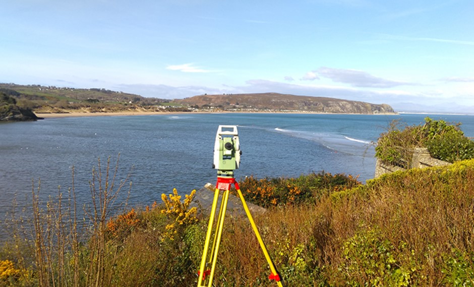
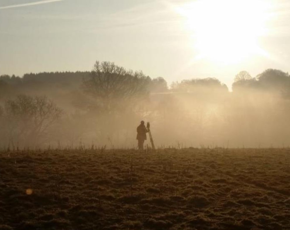
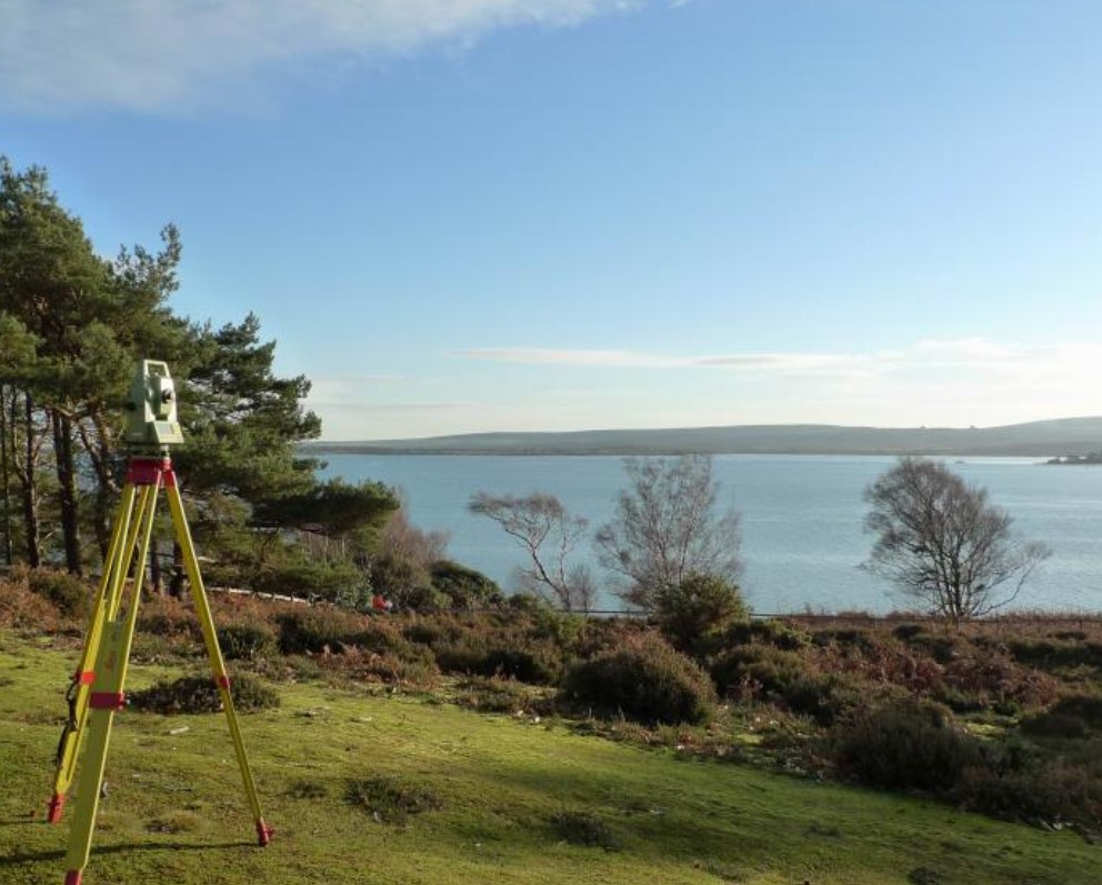
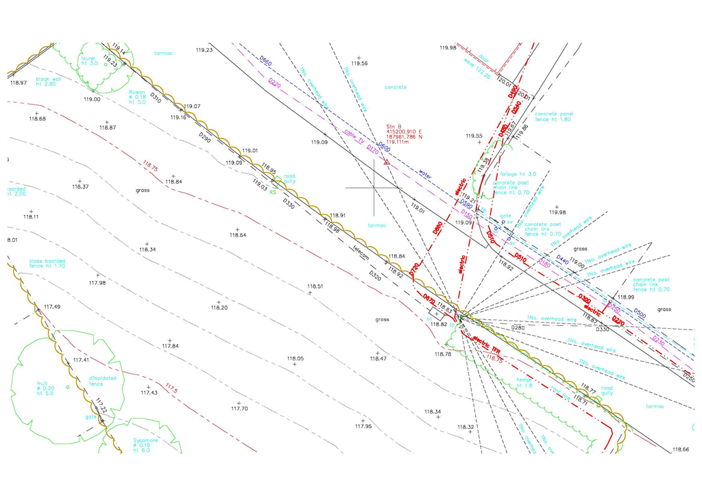
Anthony Brookes Surveys Ltd carries out Topographical (Land) Surveys to a wide range of specifications to cover the varying requirements of our clients. Specifications can be tailored from simple structure and boundary outlines up to fully detailed plans showing levels, surface and below ground features, foliage, trees and buried services.
Our Surveys are used by a wide range of users for individual home improvements to major transport and utility organisations, emergency services groups, architects, planners, engineers and construction companies.
Survey Specifications, Outputs & Quality Control
Equipment and Techniques
Measured Building Surveys
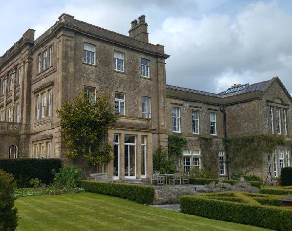
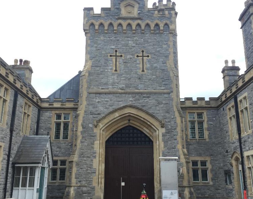
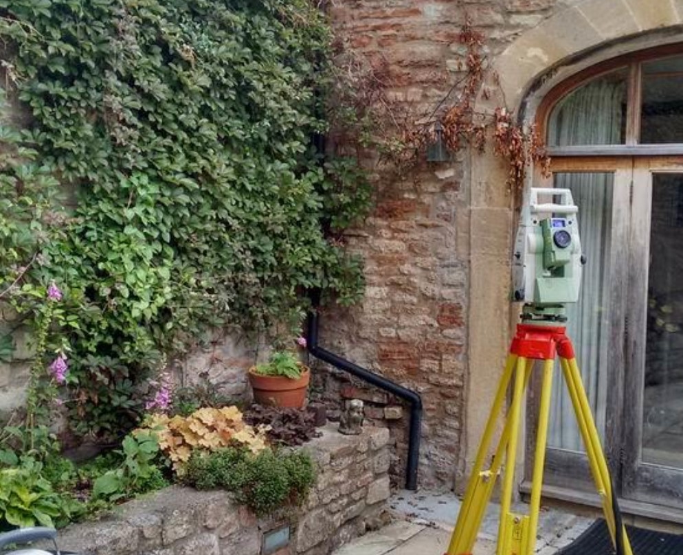
Measured building surveys consisting of plans, elevations and sections or any combination thereof. We have a dedicated measured building surveys department, the surveyors as well as using laser scanners, reflectorless instruments, distos, etc also have an invaluable tool in the depth of their experience.
These members of staff are trained in both traditional and modern survey techniques and have an understanding of how buildings are constructed and how they evolve. This enables them to visualise how they should be represented when drawn.
Floor Plans
Elevations
Sections
Laser Scanning
Railway Surveys
Anthony Brookes Surveys Ltd has been RISQS registered (3831) since 2002 and are audited enabling us to provide PTS staff across the network.
Our staff are all PTS AC/DC trained and are equipped with all the necessary PPE for the working environment.
We are known for the high level of detail and accuracy of our surveys and for producing clear and concise drawings to best communicate the information to the end user.
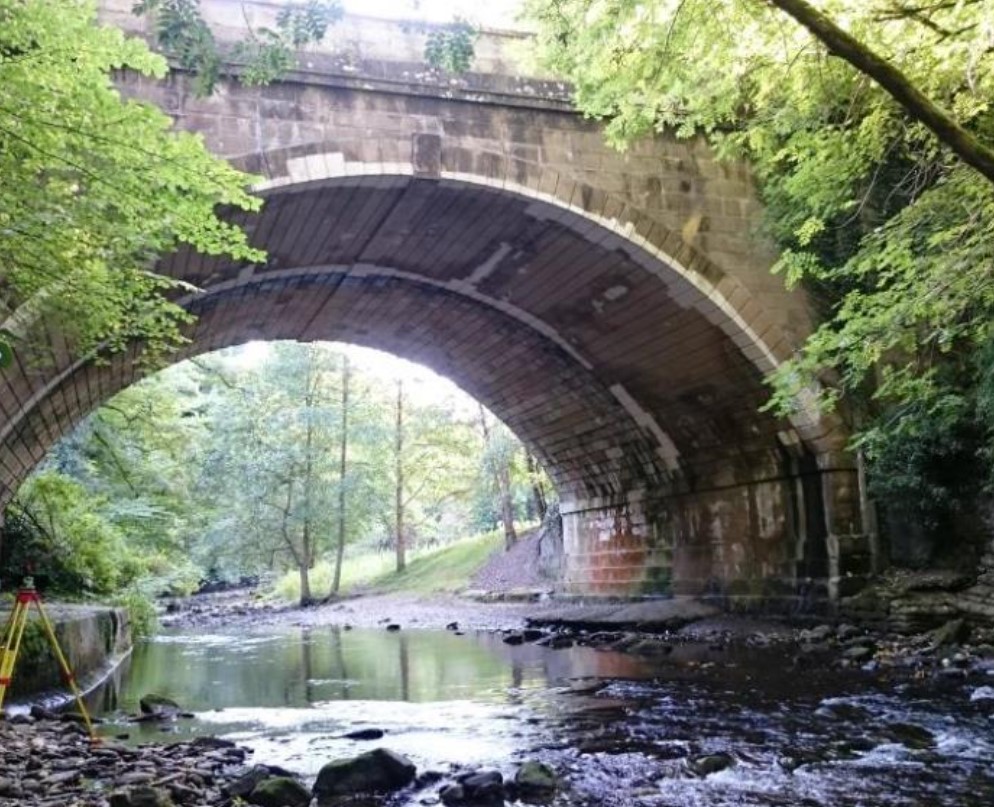
Track, Earthworks and Structure Surveys
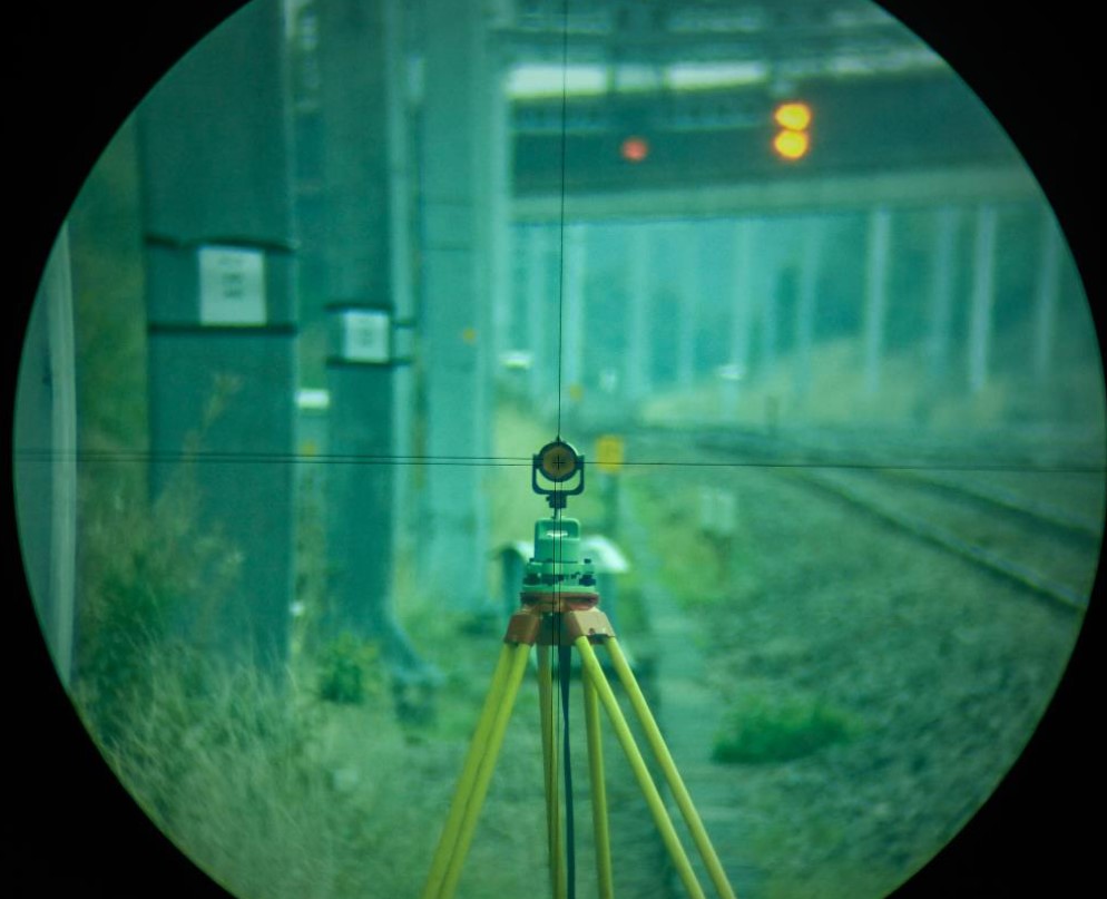
Remote Observations and Night Possessions
Rail Monitoring Surveys
Laser Scanning
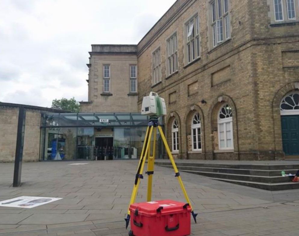
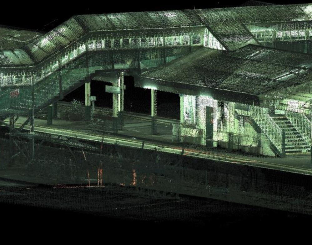
Laser scanning is a fast reliable process for mass data collection and high definition surveying. It offers a true 3D representation of the area being surveyed. It is the collection of millions of individual measurements forming a 3D co-ordinated ‘cloud’. This means that whatever the client’s needs from a survey are, the data is there and it can be manipulated to produce rectified images, 2D and 3D CAD drawings and 3D point clouds either at the time or at a later date.
3D BIM Modelling
Point Clouds
3D Walkthrough
Monitoring
Service Tracing & CCTV
In partnership with local specialist sub-contractors we undertake tracing of all underground buried services, drainage and CCTV surveys.
The benefit to the client of us using a specialist sub-contractor is the value gained by specifically trained staff in use and knowledge in the locating of underground buried services plus a single point of contact of us co-ordinating both the site work and the quality of the CAD drawing. We will provide both a CAD drawing and CCTV report in which all data is cross referenced.
Gallery
|
Click to close
|
Products & Services
Land, Measured Building, Rail & Engineering surveys
Measured Building Surveys
Location Map
Anthony Brookes Surveys Ltd Serves The Following Areas
Find Anthony Brookes Surveys Ltd in
Anthony Brookes Surveys Ltd General Description
topographical surveys bristol land surveyors bath building surveyors clevedon topographical surveyors south west england rectified photos bristol railway surveyors newport gps surveyors bath railtrack surveys bristol earthwork structure surveyors south west england flood risk surveys nia calculation


